File:Cyrus2.jpg
Jump to navigation
Jump to search
Size of this preview: 729 × 600 pixels. Other resolution: 1,600 × 1,316 pixels.
Original file (1,600 × 1,316 pixels, file size: 768 KB, MIME type: image/jpeg)
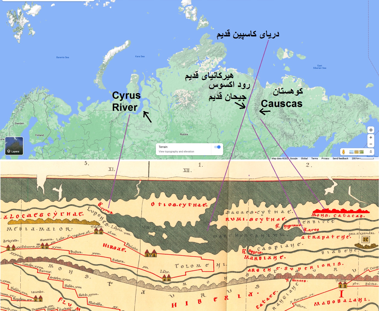
بر اساس یک نقشه باستانی به نام Tabula Peutingeriana که مربوط به حدود 2000 سال پیش است و تطبیق آن با دیگر نقشه های باستانی و اطلاعات جغرافیایی کهن.
File history
Click on a date/time to view the file as it appeared at that time.
| Date/Time | Thumbnail | Dimensions | User | Comment | |
|---|---|---|---|---|---|
| current | 14:02, 20 November 2021 | | 1,600 × 1,316 (768 KB) | Bashir (talk | contribs) |
You cannot overwrite this file.
File usage
There are no pages that use this file.